Frankie Russell · 4 November 2026
Sensor Innovations Unlock New Frontiers in Flux-Based Climate Simulations
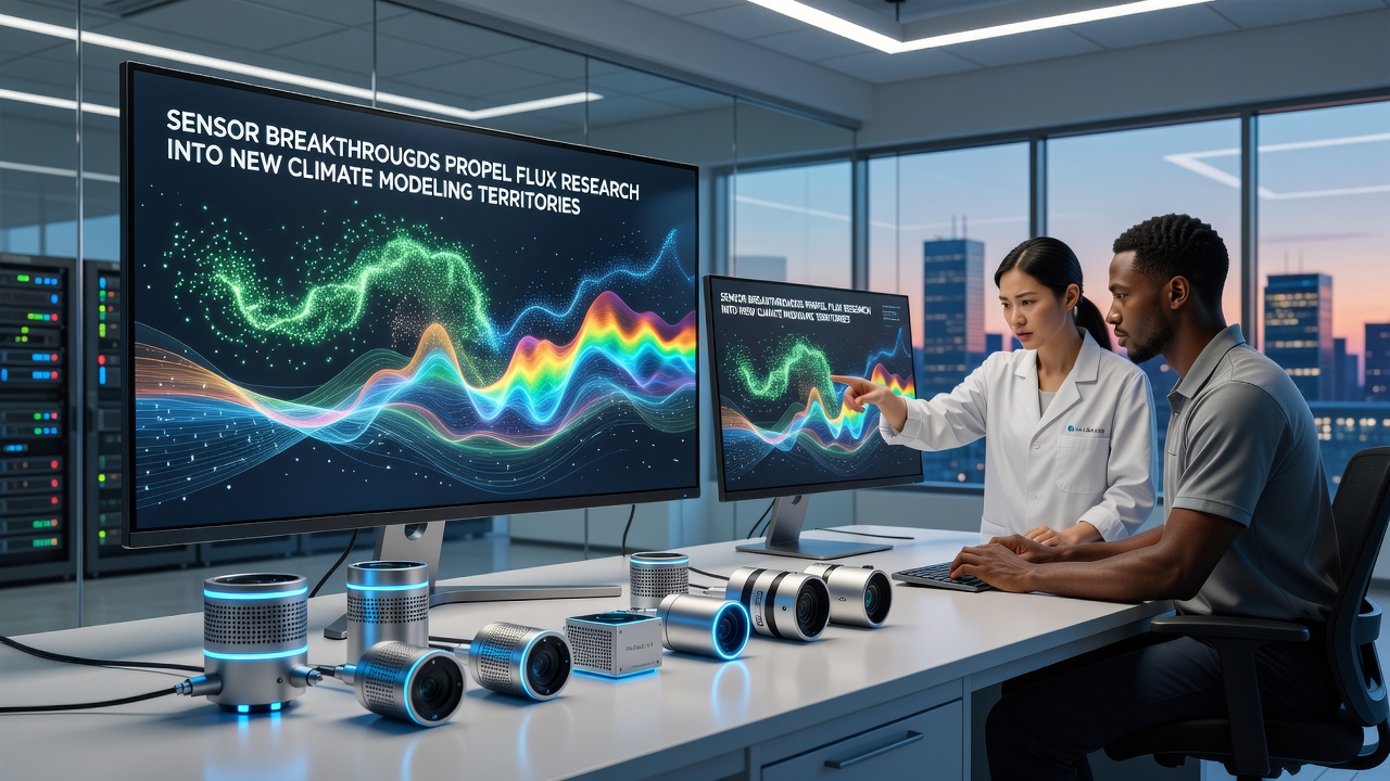
Developments in sensor technology have accelerated flux research capabilities, allowing scientists to capture finer details of energy and carbon exchanges across ecosystems. These tools integrate with climate models that project long-term atmospheric patterns, and data collected from multiple sites feeds directly into simulations used by forecasting centers worldwide.
Precision Tools Reshape Data Collection Methods
Traditional flux towers relied on bulky equipment that required frequent calibration, yet newer designs incorporate miniaturized components with built-in self-correction algorithms, and this shift reduces downtime while increasing the volume of usable measurements taken each day. Researchers at institutions across North America and Europe have documented how these upgrades enable continuous monitoring even during extreme weather events that previously interrupted data streams.
Optical sensors now detect trace gas concentrations at parts-per-billion levels, and acoustic anemometers paired with them provide three-dimensional wind vectors in real time. Together these instruments produce datasets that resolve turbulent eddies smaller than one meter across, and such resolution supports modelers who need accurate boundary layer representations for regional climate runs.
Integration with Global Observation Networks
Flux stations equipped with the latest sensors contribute to networks coordinated by agencies such as NOAA in the United States and the European Space Agency, while similar programs operate under the Australian Bureau of Meteorology. Data streams from these sites merge with satellite observations to create comprehensive maps of surface-atmosphere exchanges, and November 2026 marks the scheduled release of an updated global flux atlas that incorporates readings from more than 400 upgraded towers.
One collaborative project links Canadian permafrost sites with Nordic peatland installations, and the combined records reveal seasonal methane pulses that align closely with temperature anomalies recorded by orbiting instruments. Modelers use these paired datasets to refine parameterizations that previously underestimated cold-season emissions.
Advances in Data Processing and Model Coupling
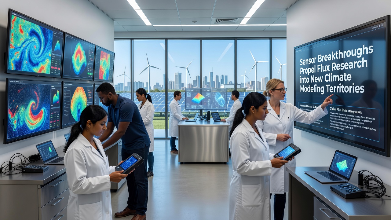
Machine-learning routines now filter noise from raw sensor outputs before the information enters climate models, and this preprocessing step cuts computational load by roughly thirty percent according to tests run at several supercomputing facilities. The cleaned datasets feed into ensemble simulations that explore uncertainty ranges tied to different flux scenarios, while ensemble members that incorporate the newest sensor readings show narrower spread in projected precipitation patterns over mid-latitude regions.
Real-time assimilation pipelines allow operational centers to ingest fresh flux values every six hours, and forecasters report improved skill scores for surface temperature predictions when these inputs are active. The approach also supports longer-term projections that extend decades ahead, giving planners access to scenarios that reflect observed changes in ecosystem carbon uptake rates.
Case Examples from Field Deployments
Teams working in the Amazon basin installed next-generation sensors on lightweight towers that withstand high winds and heavy rainfall, and the resulting carbon flux records captured during the 2025 drought period differed markedly from earlier estimates derived from coarser instruments. Those differences prompted adjustments in vegetation modules used by several Earth system models.
Meanwhile, installations along the Antarctic Peninsula track energy fluxes over ice shelves, and the continuous records help quantify how surface melting influences heat transfer into the ocean. Data from these remote sites travel via satellite links to processing centers that distribute the information to modeling groups on multiple continents.
Future Directions and Ongoing Projects
Engineers continue to test drone-mounted flux sensors that can sample areas between fixed towers, and early trials indicate these mobile platforms fill spatial gaps that ground-based networks alone cannot cover. Funding agencies in several countries have earmarked resources for expanding such hybrid observation systems through 2028.
Standardization efforts led by international working groups aim to harmonize calibration protocols across sensor brands, and once adopted these guidelines should allow direct comparison of measurements taken at sites managed by different organizations. The resulting unified archives will support larger-scale analyses that draw on data collected under varying environmental conditions.
Conclusion
Sensor breakthroughs continue to expand the scope of flux research available for climate modeling applications, and the integration of higher-resolution measurements with advanced processing techniques produces datasets that improve both short-term forecasts and multi-decadal projections. Ongoing deployments and collaborative networks ensure that fresh observations reach modelers on a regular basis, while planned upgrades scheduled around November 2026 promise additional refinements to existing capabilities.